
WHO WE HELP
Planners & municipalities
We support planning teams with spatial analysis, urban-design studies and public-facing graphics that connect information with decisions.
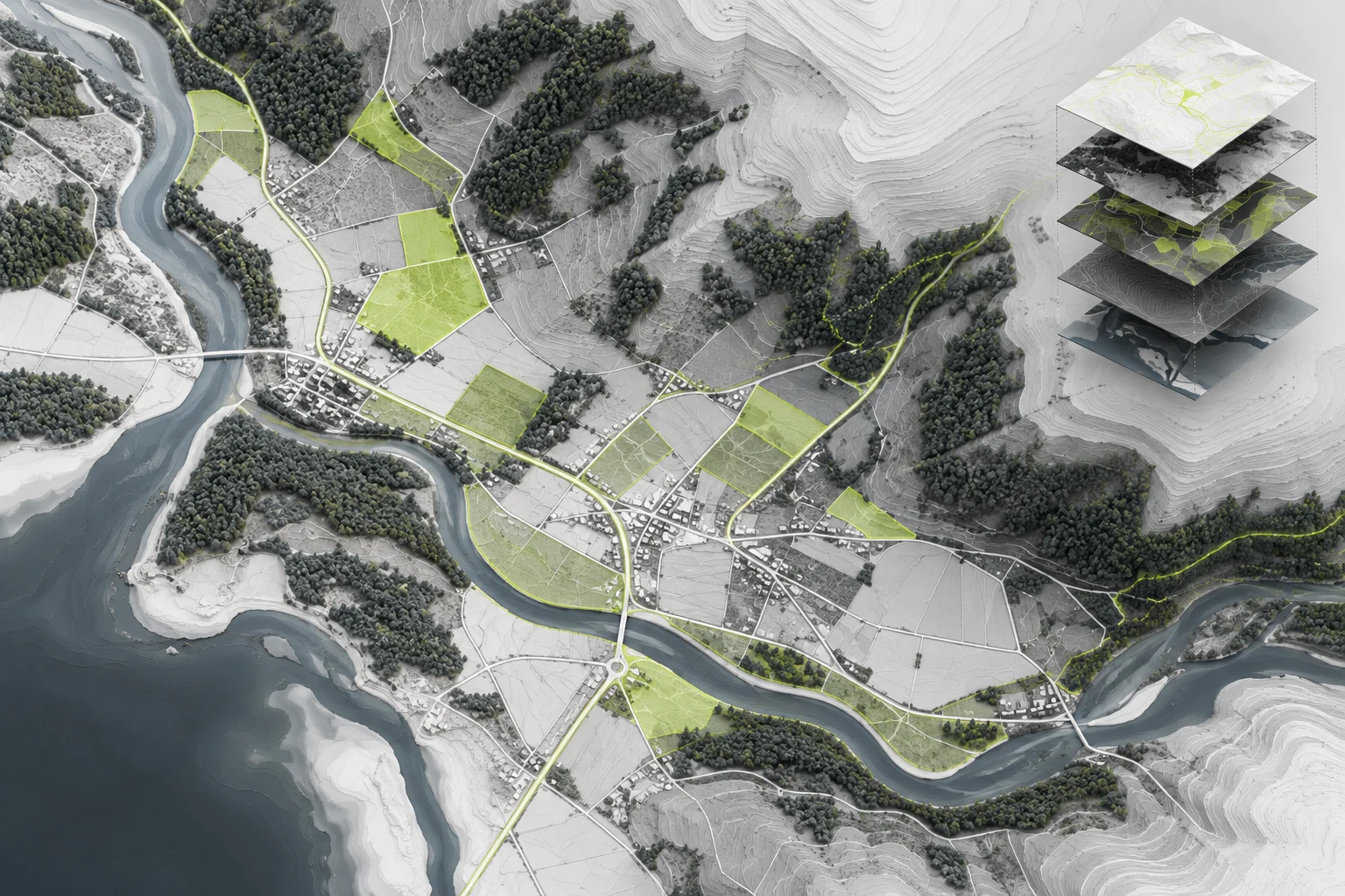
Make complex places understandable.
Extend your team with a defined scope, clear inputs and coordinated review milestones.
Public-realm concepts
Meeting and report graphics
Where we can
take on the work.
 Planning production
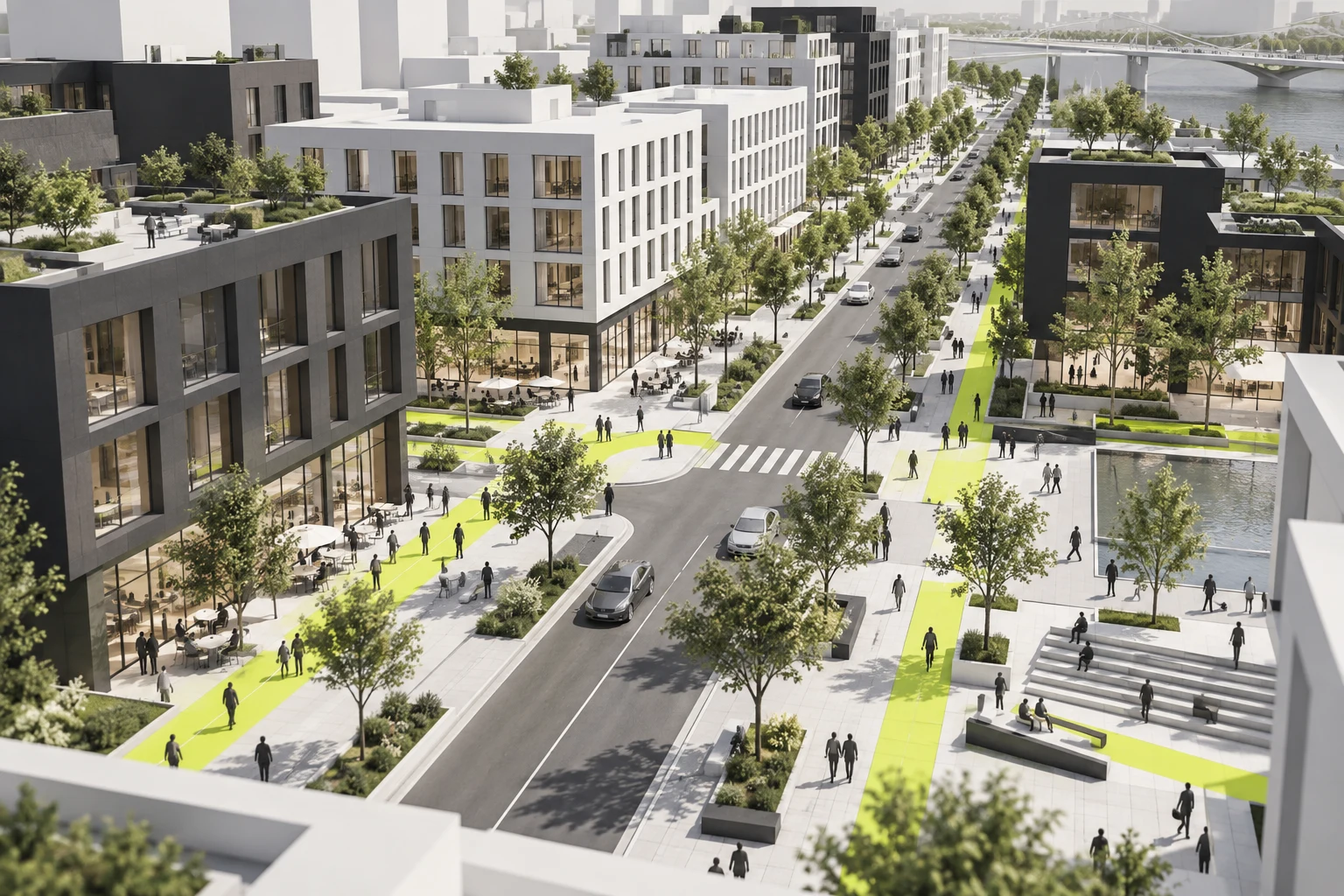
Urban design & planning
Site concepts, district studies and public-realm planning support. We combine base mapping, zoning context, 3D options and engagement graphics into a clear production package.
Explore servicePlanning productionGIS & mapping
GIS mapping and spatial analysis for planning teams: parcel atlases, land use overlays, survey integration and maps for public engagement.
Explore service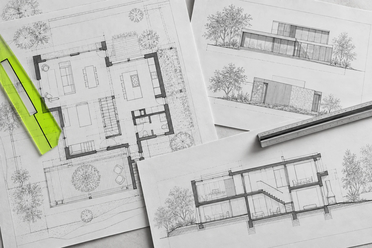 Planning production
Graphic design & reports
Good planning needs clear communication. We translate complex material into readable reports, meeting boards and presentation graphics using your brand and document structure.
Explore serviceA relevant production example.
Explore our contribution and the deliverables behind the project.
Planning production
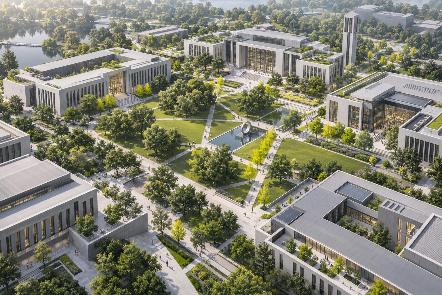
College planning document handoff
Document delivery support for a college master-plan update and supporting facilities information.
Prior team experience under a lead consultantSee our contribution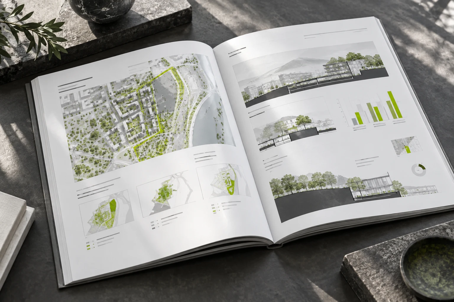
Planning production
County facilities report framework
A draft report structure for organizing a county facilities master-planning study.
Prior team experience under a lead consultantSee our contributionLET’S MOVE THE WORK FORWARD
What’s on
your drawing board?
A coordination backlog? A drawing issue approaching? Tell us what needs to move, and we’ll define a production package around your team.
Let’s talk projects